
9 June 2014
When citing a rural cemetery, you will want to include directions for locating it, unless you have already done so in your text. Typically, these directions will reference the nearest town and cite distance by way of a certain highway or road. In U.S. public-land states, which are surveyed by sections, townships, and ranges, these legal descriptions also serve as convenient locators.
You may, of course, cite a Global Positioning System location, if you use a GPS tracking device. (Even so, most users of your citation will still want the details itemized above.) Most GPS systems give you a choice between citing the location by (a) "L-L," referring to latitude and longitude; or (b) UTM, referring to the Universal Transverse Merctor system favored in the historic preservation field.
EE 5.14 discusses pros and cons of citing by L-L or UTM and offers citation examples for rural cemeteries described by physical landmarks and/or GPS.
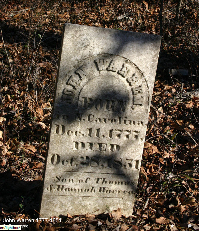
IMAGE SOURCE: "Section 16 Cemetery," Yazoo County, Mississippi; about 3/4 mile northwest of Deasonville, Mississippi (a now-defunct populated place), Township 11 North, Range 2 East, Section 16, Choctaw Meridian; Latitude 32.80130 degrees north, Longitude -90.10350 degrees west, John Warren marker; image supplied by Greg Boyd, President, Arphax Publishing (http://www.HistoryGeo.com).